With EagleWind Drone Services you can skip the scaffolding! We deliver detailed, consistent high-resolution imagery and up-to-date 3D mapping that improves the quality, speed, and resolution of the inspection process all while reducing your out of pocket costs.
- Quickly spot and document safety violations, tenant transgressions, and property damage.
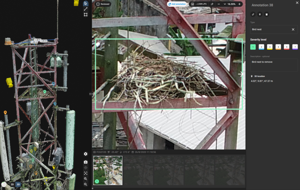
- Inspect structural elements such as windows and building envelopes from the safety of the ground.
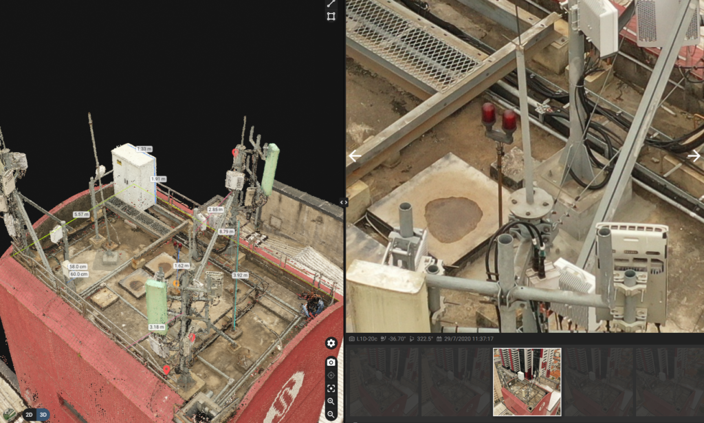
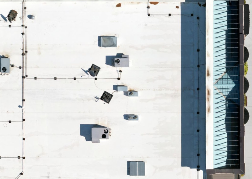
- Identify existing roofing, note major issues, identify and count rooftop units, take measurements, determine slopes, and produce a full photographic roof plan.
- Find and identify broken skylights, damaged roofing areas, ponding water, clogged drains, and wind damage quickly and accurately without the risk of personnel injury.
- Having a record of inspection data helps to demonstrate the value of your assets when environmental or accidental damage occurs.
- Shorten inspection times and reduce the time it takes to receive your claim settlement.
- Automatically detect and analyze concrete or asphalt defects.
- Determine degradation timelines and prioritize repairs.
- Generate cost estimates for repairs without the need for costly, time-consuming ground surveys.
Aerial imagery now fits the budget for any job; simply tell us about your project, and we’ll take care of the rest. Contact Us today!