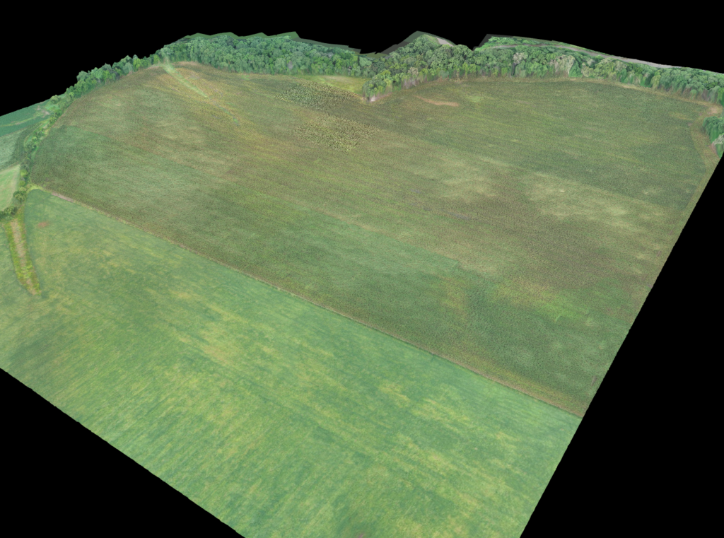
EagleWind Drone Services will save you money by 3D your fields in minutes to conduct stand counts, identify variability, evaluate treatment efficacy while remaining offline and at the field’s edge.
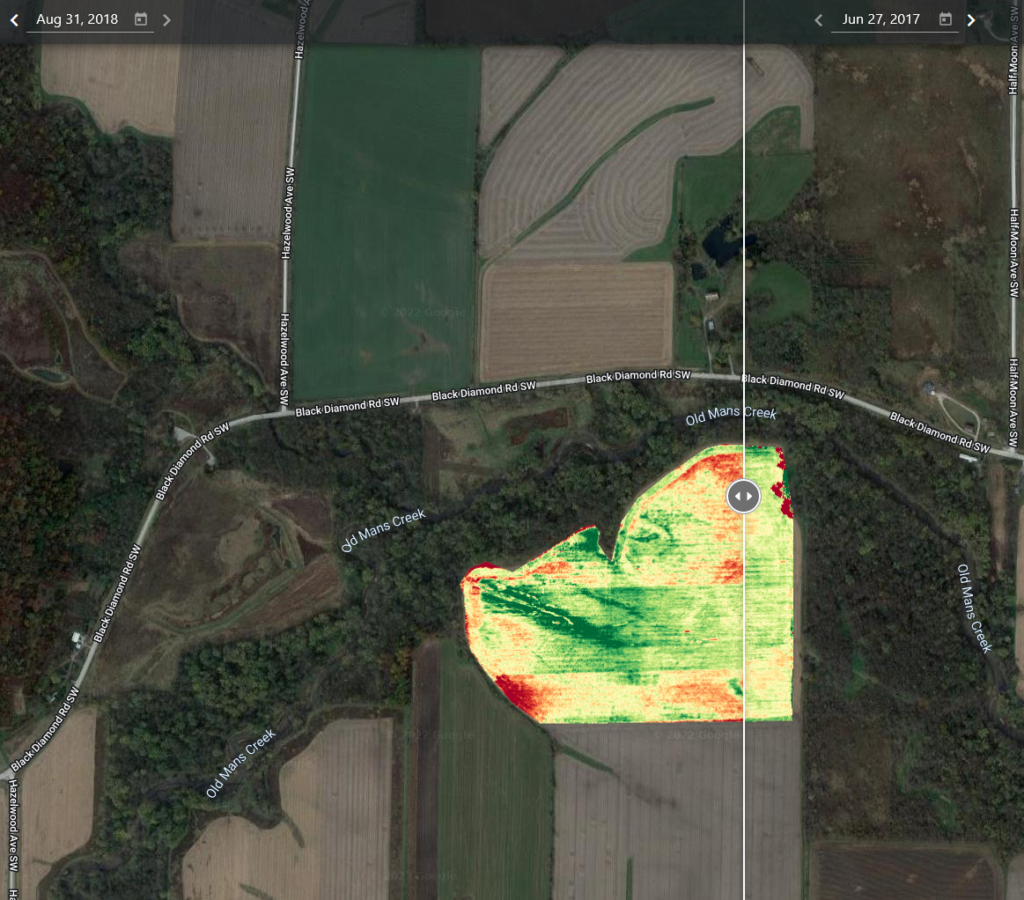
- Use Crop Health Maps to generate variable rate prescriptions and quantify the benefit of your services pre- and post-treatment applications.
- Increase the accuracy and efficiency of your insurance claims process by quantifying areas of total loss after weather events using detailed aerial maps.
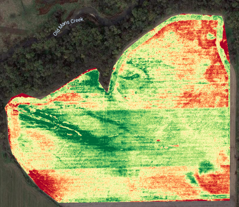
- Identify plant stress & understand different zones in the field with advanced algorithms (NDVI, ENDVI, VARI), sensor types, or by applying zones & grids.
- Conduct automated stand counts and gap analysis for corn and soy offline at the field’s edge.
- Identify areas of good, moderate, and poor emergence, with results automatically compiled in an easy-to-share report.
- Quickly take a variety of measurements including volume, slope, distance, area, and elevation.
- Share & Export Maps: Send map links to external stakeholders or export data (JPG, GeoTiff, OBJ, +LAS, XYZ, SHP, DXF)
Aerial imagery now fits the budget for any property; simply tell us about your project, and we’ll take care of the rest so Contact Us today!